Concept · Back to Basics
Back to basics: why maths and science still matter when AI can write the code
AI can build a map, a model or a 3D scene in minutes. Knowing whether it is right for a real place still takes a person who understands the fundamentals.
Beginner6 min read
Key takeaways
- AI is excellent at producing a first draft. It cannot tell you whether the draft is right for your place, your sensor or your users.
- People are needed to specify the problem, check the result, tune it and put it in context.
- Five foundations carry most of GeoAI, 3D, VR and mixed reality: vectors and transformations, the shape of the Earth, light and optics, statistics, and human perception.
- A few habits, such as checking units and testing with known answers, catch most errors.
A few years ago, building a land cover model or a 3D scene meant weeks of work. Today, an AI assistant can draft the code in a minute, suggest a model and even explain the result in friendly language. This is a genuine step forward, and it is worth using. It also creates a quiet danger: output that looks right, runs without errors and is wrong in ways that only someone with the fundamentals would notice.
This article opens a learning path called Back to Basics. Its argument is simple. AI can build. People are still required to develop, fine-tune and contextualise. And all three of those depend on understanding the maths and science underneath, which is what the rest of this path teaches, with examples from GeoAI, 3D, virtual reality and mixed reality.
What AI does very well
- Drafting code and configuration from a short description.
- Translating between libraries and languages, for example from one GIS toolkit to another.
- Exploring options quickly: three possible models, five possible layouts.
- Explaining unfamiliar terms and summarising documentation.
- Producing boilerplate that used to take an afternoon.
Used well, this removes drudgery and leaves more time for the parts that need judgement. The question is what those parts are.
What still needs a person
- 01Specify the problem. AI answers the question you give it. Turning “help us with our fields” into a precise, testable question about which fields, when and how accurately is a human skill.
- 02Check the result. Output must be tested against reality, and that requires knowing what reality should look like.
- 03Fine-tune. Real data is messy, and settings that work on an example often fail on your own region, sensor or season. Adjusting them wisely needs an understanding of why they work.
- 04Contextualise. A result is only useful when it is placed in its setting: what the local conditions are, what the users need, what a mistake would cost.
Three short stories
The shadow that looked like a lake. A team asked an AI assistant to help classify water from satellite images. The model produced a clean map. Looking closely, an analyst noticed that the “lakes” followed the north side of every hill. They were shadows, which are dark in the same bands where water is dark. Someone who understood how light and reflectance work saw the pattern immediately. The fix was a different data source and a terrain-aware check, not a bigger model.
The building that was a thousand times too big. An AI-generated script imported a 3D model of a campus into a game engine. It looked fine in the editor until the team tried a VR walkthrough, where every door was the size of a skyscraper. The model had been exported in millimetres, and the engine expects metres. A team member who knew to check units found it in a minute.
The scene that made people ill. A beautiful VR demonstration looked excellent on a monitor. In the headset, several visitors felt unwell within minutes. The scene updated slowly, and moved the viewpoint smoothly while the visitor’s body stayed still. Nothing was wrong with the code. What was missing was an understanding of how the human sense of balance and vision work together.
The five foundations
- Vectors and transformations. The maths of position, direction, rotation and scale, behind every map, image and 3D scene.
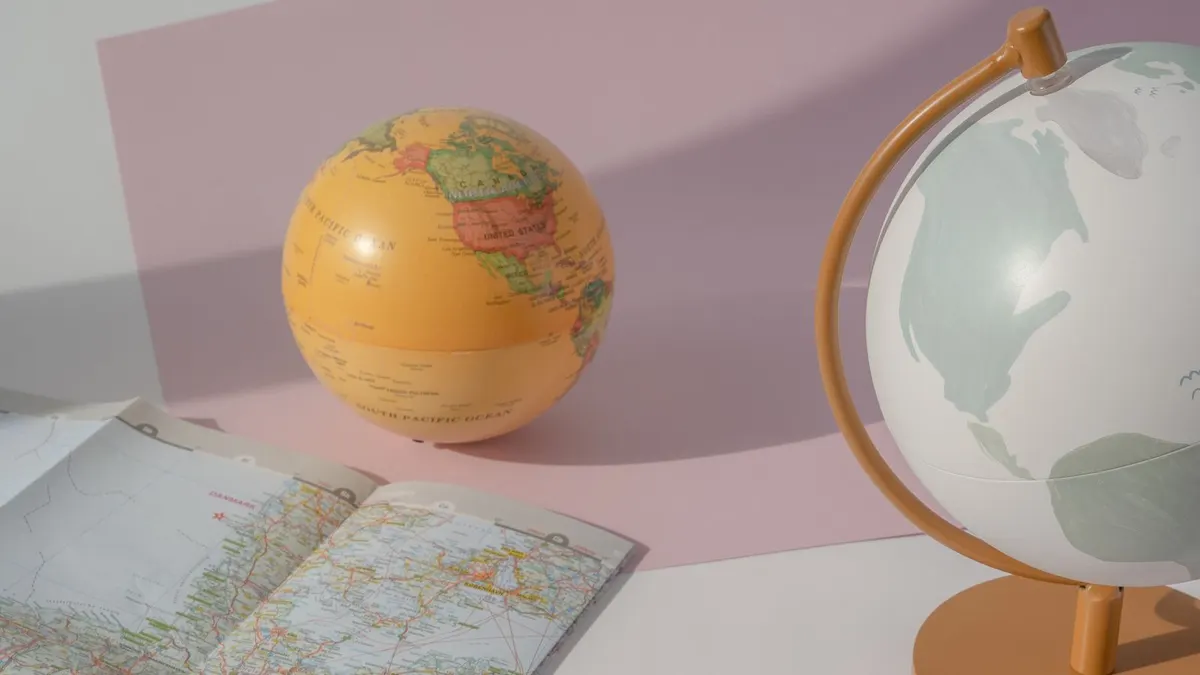
- The shape of the Earth. Datums, coordinate systems and why distances on a globe are not distances on a page.
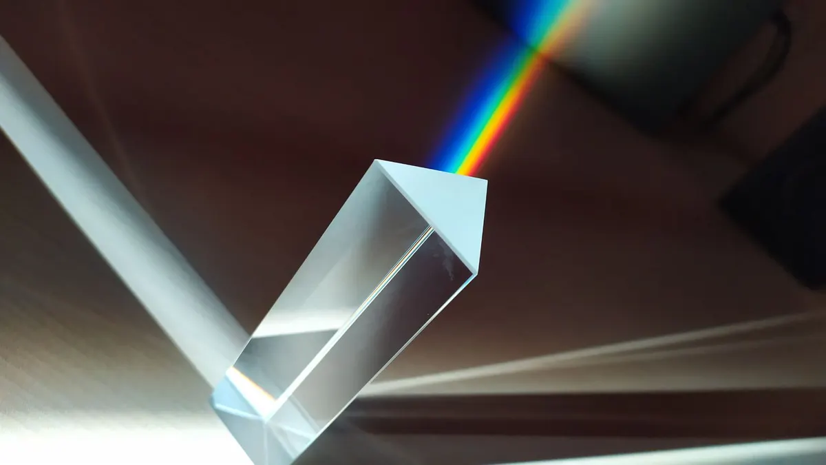
- Light and optics. How sunlight, the atmosphere and cameras shape what a sensor records.
- Statistics and uncertainty. How to measure whether a map or model is right, and how sure you can be.
- Human perception. How eyes, ears and the inner ear respond to a virtual or augmented world.
A sixth idea runs through all of them: how machine learning models actually learn, because understanding that makes it far easier to know what a model can and cannot be trusted to do.
How to learn the basics without becoming a mathematician
You do not need a degree. You need working intuition, which grows fastest through small, concrete experiments.
- Learn through a project. Pick a real problem, such as mapping crops or building a campus tour, and learn each idea when you meet it.
- Play with numbers. Rotate a point by hand, then in code, and compare. Measure a distance three ways and see why they differ.
- Ask AI to explain, then verify. Use it as a patient tutor, and confirm what it says against a trusted textbook or a quick calculation.
- Keep a notebook of mistakes. Each error you understand makes the next one easier to spot.
A habit that protects you
Before trusting any result, run four quick checks.
- 01Units: are lengths in metres, feet or degrees, and are angles in degrees or radians?
- 02Known answer: does the code give the right result for a case where you already know the answer?
- 03Extremes: what happens at zero, at the edge of the map and at very large values?
- 04Picture: does the output look right when you draw it, and does it match what you know about the place?
What this path covers
- Coordinates, vectors and transformations.
- Light, spectra and the physics of remote sensing.
- The Earth’s shape, datums and distance.
- Statistics and uncertainty for maps and models.
- Optics and photogrammetry: how cameras capture 3D.
- Human perception in VR and mixed reality.
- How machine learning models learn.
- A hands-on tutorial that puts the maths into code, and a guide to checking AI-generated code.
Frequently asked questions
- Do I need advanced mathematics to work in GeoAI or VR?
- No. You need solid basics and the habit of checking: vectors, simple trigonometry, an intuition for statistics and units. Advanced topics can be learned when a project calls for them.
- Can’t AI just explain the maths to me when I need it?
- It can, and it is a good tutor. But you need enough knowledge to recognise when an explanation or a result is wrong. That is exactly what the basics give you.
- Where should a complete beginner start?
- With this article, then coordinates and transformations, then whichever of light, the Earth’s shape or perception matches your work most closely.
- How do I know when AI output is wrong?
- You will not always know at a glance. Use known-answer tests, unit checks, comparison with a trusted tool and your own sense of what the place should look like.
AI is a remarkable assistant. Pair it with a person who understands the fundamentals, and you get speed with judgement. Leave the fundamentals out, and you get speed with unexamined mistakes.
Join the conversation
Reactions & comments
Comments are opening soon.
In the meantime, tell us what you think by email at info.istem.lab@gmail.com.