
Tutorials
Practical walkthroughs from raw data to a working result. Each one lists what you need and what you will build.
All tutorials
Showing 1–7 of 7 tutorials
TutorialBeginner
Maths in code: distances on the Earth and rotations in 3D with Python
Put the fundamentals to work: measure real distances, rotate points, convert pixels to map coordinates and see floating-point limits for yourself.
Back to Basics · 11 minOpen →

TutorialBeginner
Publish a 3D model on the web, with AR on phones
Compress a GLB, show it on a web page with the model-viewer component, add annotations and let visitors place it in their room.
3D & VR · 11 minOpen →
TutorialIntermediate
Capture a place and turn it into a Gaussian splat
Film a scene, train a splat with open-source tools, clean it and view it in your browser, with the pitfalls to avoid.
3D & VR · 7 minOpen →
TutorialIntermediate
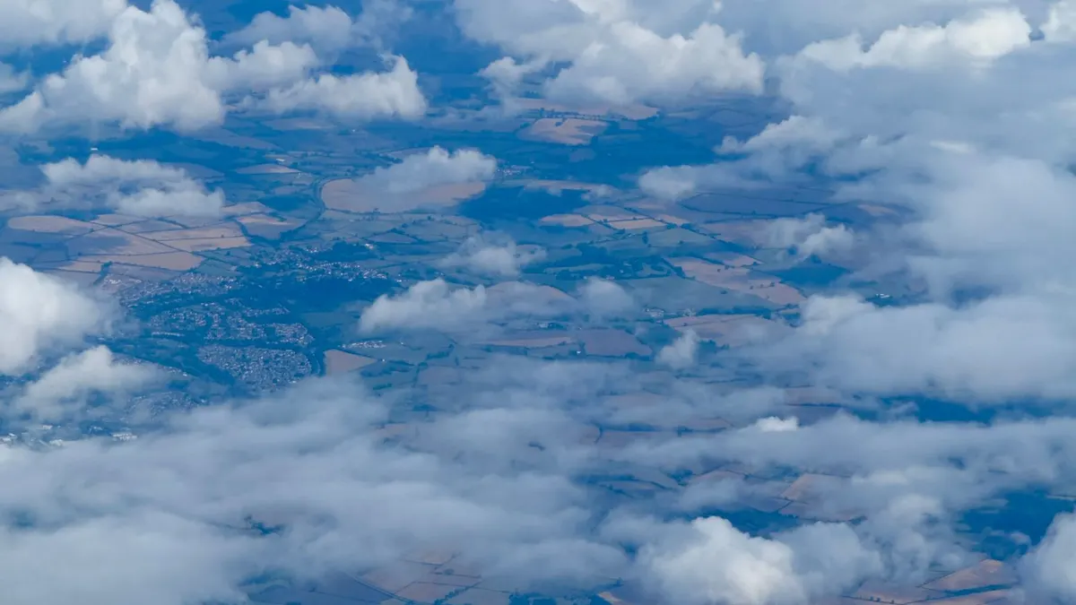
Classify land cover with a random forest in Python
Train a machine learning model on labelled pixels, test it honestly and turn a satellite image into a land cover map.
GeoAI · 13 minOpen →
TutorialBeginner
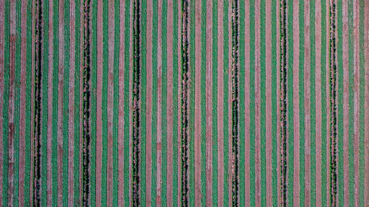
Compute NDVI from Sentinel-2 imagery with Python
Turn the red and near-infrared bands into a cloud-masked vegetation health map, step by step.
GeoAI · 11 minOpen →
TutorialIntermediate
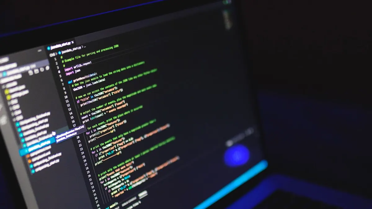
Build a minimal RAG pipeline in Python
Chunk text, embed it, retrieve the best passages, build a grounded prompt and test it, with no framework.
RAG & Agents · 12 minOpen →
TutorialBeginner
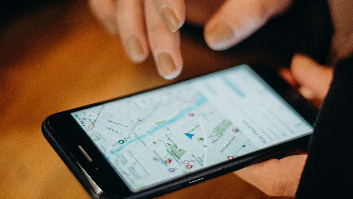
Show your data on a web map with MapLibre
Add an interactive map, a GeoJSON layer, popups and data-driven colours to any web page.
Web GIS · 12 minOpen →
Start a project
Have a project in mind? Let's scope it together.
Book a free 30-minute discovery call. You will leave with a clear view of what is feasible, what it takes, and the best first step.