Concept · Applied Maths
The story of the tallest tree: geometry, angles and how we measure what we cannot reach
How shadows, angles and triangles let you measure a tree, a mountain or a building, and how the same ideas drive surveying, GPS and 3D graphics.
Beginner7 min read
Key takeaways
- Similar triangles let you measure something huge from something small, using shadows or sight lines.
- Pythagoras gives distances from two perpendicular measurements, and trigonometry turns an angle and a distance into a height.
- Triangulation finds a position by measuring angles or distances from two or more known points.
- The same ideas sit under surveying, GPS, photogrammetry and every 3D scene.
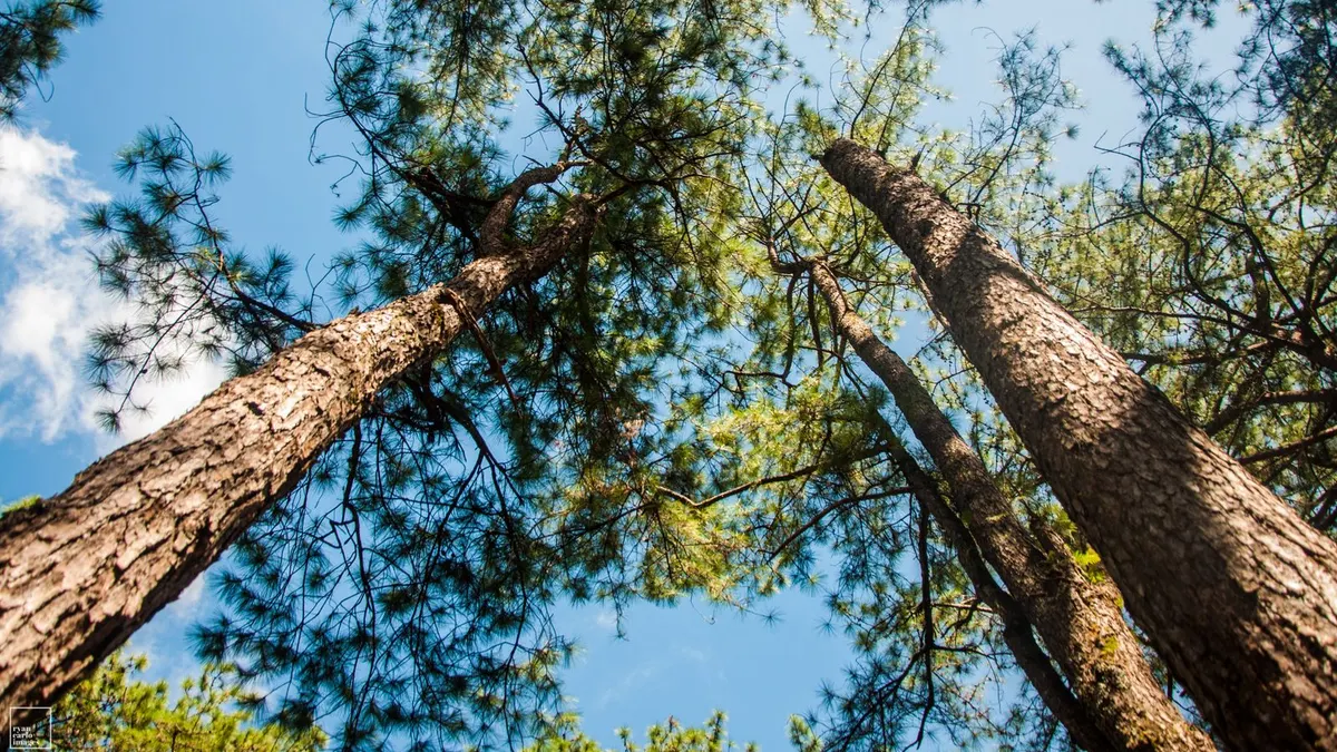
In a village forest, a school has a challenge. Pema the teacher announces that the oldest pine in the schoolyard might be the tallest tree in the valley. “How tall is it?” asks a student called Sunil. Nobody has a ladder long enough, and nobody wants to climb it. “We do not need to touch the tree,” says Pema. “We need a stick, a measuring tape and a little geometry.”
What follows is one of the oldest stories in mathematics. Versions of it have been told for thousands of years, from measuring the pyramids to mapping continents. It shows how triangles let us reach what our hands cannot.
First method: the shadow and the stick
It is a sunny afternoon. Pema pushes a 2 metre stick upright into the ground. Its shadow stretches 1.5 metres. At the same moment, the class measures the tree’s shadow along the ground: 12 metres.
The sunlight falls at the same angle on both. The stick, its shadow and the line of light form a small triangle. The tree, its shadow and the line of light form a bigger one with the same shape. They are similar triangles: one is a scaled-up copy of the other. In similar triangles, the ratios of matching sides are equal.
- For the stick: height divided by shadow is 2 divided by 1.5, which is about 1.33.
- For the tree, the same ratio applies: height divided by 12 equals 1.33.
- So the tree’s height is 12 times 1.33, which is exactly 16 metres.
Sunil is amazed. A tree four storeys high has been measured using a stick, a tape and a sunny day.
Second method: an angle and a distance
The next day is cloudy, so there are no shadows. Pema borrows a simple angle-measuring tool called a clinometer, which can be made from a protractor and a string with a weight. Sunil stands 30 metres from the base of the tree and looks at the top. The clinometer reads 35 degrees above the horizontal.
Now the tree, the ground and Sunil’s line of sight form a right-angled triangle. The distance along the ground, 30 metres, is the side next to the angle. The tree’s height above eye level is the side opposite it. Trigonometry connects the two through the tangent: the tangent of the angle equals opposite divided by adjacent.
- The tangent of 35 degrees is about 0.70.
- Height above eye level equals 30 times 0.70, which is about 21 metres.
- Sunil’s eyes are 1.6 metres above the ground, so the tree is about 22.6 metres tall.
The shadow method gave 16 metres and the angle method 22.6. They disagree, so the class must have made a mistake somewhere. They re-measure, and discover that the shadow measurement had been taken from the wrong spot, and that the stick had been leaning. Disagreement between two methods is a gift: it tells you to check your work, which is exactly what surveyors do.
Pythagoras: the shortest way across
Pema also shows the class how to make a perfect right angle without any tools. A rope with knots at 3, 4 and 5 units makes a triangle with a right angle between the 3 and the 4 sides, because three squared plus four squared equals five squared (9 plus 16 equals 25). This is the Pythagorean theorem: in a right-angled triangle, the square of the longest side equals the sum of the squares of the other two.
Builders have used the rope trick for thousands of years to lay out square foundations. The same theorem gives the distance between any two points on a flat map. If a village is 3 kilometres east and 4 kilometres north of another, the straight-line distance is 5 kilometres.
Triangulation: finding where you are
A week later, two students walk to opposite ends of the schoolyard, 50 metres apart, and each measures the angle to a distant temple. Because they know the distance between themselves and the two angles, the class can draw a triangle and find the temple’s distance, without ever walking there. This is triangulation, the method behind much of the world’s early mapmaking.
It works because a triangle is rigid. If you know one side and two angles, the whole shape is fixed. Surveyors measured whole countries this way, chaining triangle after triangle across land and mountains.
From the schoolyard to satellites and screens
- GPS positioning uses a version of the same idea. Your receiver measures its distance from several satellites and finds where those distances meet. It needs at least four satellites, because it also solves for the error in its own clock.
- Photogrammetry uses two or more photographs of the same object, taken from different positions, to calculate depth by triangulation, exactly like the temple.
- Drone mapping computes the size of the ground covered by a pixel using similar triangles, from the height of the drone and the camera’s focal length.
- 3D graphics rotates and scales shapes using sine, cosine and tangent, and uses dot products to work out how light strikes a surface.
- Laser scanners work out a distance from the time light takes to travel there and back, and then use angles to place each point in 3D.
- VR headsets compute the angle each eye sees, so that the scene appears at the right depth.
The formulas behind the story
Pema’s class used three formulas. Each fits on one line.
H ÷ S = h ÷ s so H = h × S ÷ s
- H: the tree’s height, the unknown
- S: the tree’s shadow, 12 m
- h: the stick’s height, 2 m
- s: the stick’s shadow, 1.5 m
In the story: H = 2 × 12 ÷ 1.5 = 16 m. This works because the two triangles are similar, so their matching sides share one ratio.
tan(θ) = opposite ÷ adjacent so height = d × tan(θ) + eye height
- θ: the angle read on the clinometer, 35°
- d: the distance along the ground to the tree, 30 m
- eye height: 1.6 m, added because the angle starts at eye level
In the story: 30 × tan 35° = 30 × 0.700 = 21.0 m, and adding 1.6 m gives 22.6 m.
c² = a² + b² so c = √(a² + b²)
- a and b: the two shorter sides of a right-angled triangle
- c: the longest side, opposite the right angle
In the story: the knotted rope has 3² + 4² = 9 + 16 = 25 = 5². The village 3 km east and 4 km north is √(3² + 4²) = 5 km away. In 3D, the same idea extends to d = √(x² + y² + z²), the distance used throughout maps and graphics.
Try it yourself
- 01On a sunny day, measure a lamp post’s shadow and the shadow of a one-metre stick held upright at the same time. Calculate the lamp post’s height.
- 02Make a clinometer from a protractor and a string. Stand 20 metres from a building, measure the angle to its roof and calculate its height. Do not forget to add your eye height.
- 03Compare the two answers. If they differ by more than a metre, find out why.
Frequently asked questions
- What are sine, cosine and tangent for?
- They connect angles to side lengths in right-angled triangles. Sine and cosine are the heart of rotation and waves. Tangent is the one you use to find a height from an angle.
- Why does GPS need four satellites?
- Three give a position in space, and the fourth lets the receiver correct the small timing error of its own clock.
- Why do surveyors measure the same thing twice?
- Because every measurement has some error, and comparing two independent results reveals mistakes and tells you how reliable the answer is.
- Are angles measured in degrees or radians?
- People use degrees. Computers and calculus use radians. Mixing them up is a common source of bugs, so check which one your tool expects.
The oldest tree in the valley is, in the end, 19 metres tall, after a second round of careful measurements. It is not the tallest, but the class found something better: a way of turning a stick, a string and a few triangles into knowledge about places they could not touch. That is geometry at its best.
Join the conversation
Reactions & comments
Comments are opening soon.
In the meantime, tell us what you think by email at info.istem.lab@gmail.com.